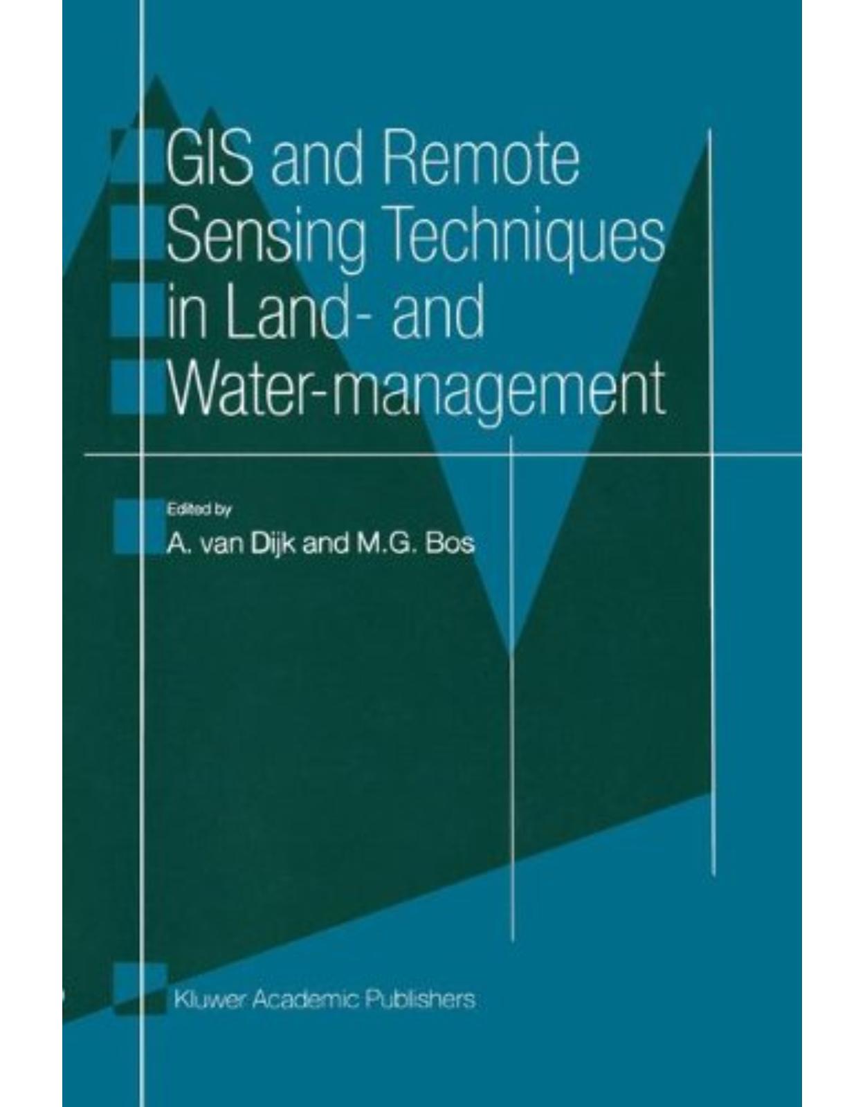
GIS and Remote Sensing Techniques in Land- and Water-management
Produs indisponibil momentan. Pentru comenzi va rugam trimiteti mail la adresa depozit2@prior.ro sau contactati-ne la numarul de telefon 021 210 89 28 Vedeti mai jos alte produse similare disponibile.
Cod produs/ISBN: 9789401064927
Disponibilitate: Acest produs nu este momentan in stoc
Editura: Springer
Limba: Engleza
Nr. pagini: 108
Coperta: Paperback
Dimensiuni: 16 x 0.7 x 24 cm
An aparitie: 2001
Managing land and water is a complex affair. Decisions must be made constantly to allocate and use natural resources. Decision and action in any use of resources often have strong interactions and side-effects on others, therefore it is extremely important to monitor and forecast the impacts of the decisions very carefully. Reliable information and clear data manipulation procedures are compulsory for monitoring and forecasting.
Remote Sensing has considerable potential to provide reliable information. A Geographic Information System is an easy tool for manipulating and analysing the data in a clear and fast way. This book describes in seven practical examples how GIS and Remote Sensing techniques are successfully applied in land and water management.
Springer
| An aparitie | 2001 |
| Autor | A. van Dijk, Bj\xf8rn Gjevik, Jan Erik Weber |
| Dimensiuni | 16 x 0.7 x 24 cm |
| Editura | Springer |
| Format | Paperback |
| ISBN | 9789401064927 |
| Limba | Engleza |
| Nr pag | 108 |


Clientii ebookshop.ro nu au adaugat inca opinii pentru acest produs. Fii primul care adauga o parere, folosind formularul de mai jos.